Read update
- Google Maps Easter Eggs That Have Recently Been Discovered
With the help of Google Earth, everyone with access to the Internet can look up any coordinate across the globe. Google Earth has proven that satellites can grab the smallest moments and store them for anyone with the Internet to explore.
Currently, Google Earth enthusiasts are searching the globe from the seat of their couch for Easter eggs that Google Earth satellites may have picked up. These Easter eggs aren't the ones many think of, but rather hidden features or messages that wouldn't have been discovered otherwise.
These hidden features can be seen in the depths of oceans, African safaris, and city streets across the world. With Google Earth Easter eggs being passed around more and more, we have discovered several new eggs in 2020 with the help of some very sharp viewers.
UPDATE: 2023/07/17 09:15 EST BY NICHOLAS MAYAMBA
Google Maps Easter Eggs That Have Recently Been Discovered
From the satisfying and the creepy to the outright unusual, Google Earth is a treasure trove of interesting sightings that have fascinated users through the years. As enthusiasts continue discovering more wholesome moments on the platform, this updated list incorporated more curious Easter eggs on Google Earth.
15 A Good Boy Spotted!
A Google Earth driver was lucky enough to catch a dog chasing their car, and an eagle-eyed roamer found the entire scene on Google Earth. The dog chases the car for quite some time and his journey is shown the more a person travels down the road. This good boy can be found in the Kumage District in Japan.
14 Found In The Asian Desert
A desert in Xianxing, China
In the middle of an Asian desert, a strange blue structure was found. Thanks to the knowledge of a few Redditors, it's been determined that this blue rectangle is actually an evaporated pond found in Xinjiang, China (40°26'37"N 90°48'00"E). These artificial ponds are naturally evaporated by sunlight and it was caught from Google Earth.
13 A Face In Antarctica
This coastline is part of a small island off the coast of Antarctica
If viewers entered "72°00'36.0"s 168°34'40.0"e into Google Earth, they may be surprised by what they find. At a quick glance, it appears an alien is peeking its head out of the crevice of the moon. In actuality, though, it's a simple natural design in Antarctica.
12 See Wildlife As It Is
A herd of elephants move into camp and enjoy a drink at the waterhole
There's nothing like an African safari and images of the continent's great plains make users realize Google Earth hasn't left a corner untouched. If users enter Lewa Wildlife Conservancy into Google Earth, they'll see a family of elephants roaming a sanctuary in Kenya. The conservatory covers 62,000 acres and Earth users can roam the grounds through their phones.
11 Even Google Earth Knows Big Ben Is Always Under Construction
Big Ben in London, United Kingdom
London's Big Ben is a huge tourist attraction. It's right beside West Minster Abbey and may as well be the star of London next to the queen. Sadly, Big Ben is consistently under construction for maintenance purposes. The scaffolding does not make for great photographs or memories, and Google Earth totally played into every tourist's nightmare.
10 A Secret Hideout In Egypt
Al Ahram, Giza Governorate, Egypt, Egypt
Google Earth's satellites are so thorough that they can uncover mysteries archaeologists haven't yet discovered. Here, satellites picked up on a strange structure outside of Cairo, Egypt. Some theorize it's a secret military entrance while others think it's an underground subway system or, odder, something from aliens.
9 Keep Those Eyes Peeled For The Alphabet In The Philippines
El Nido is a Philippine municipality on Palawan island.
Thanks to the Covid-19, millions of people are staying home out of the public eye. With so much time at home, one Redditor used Google Earth to hover over the capital of the Philipines (Manila) and found various of shapes that — when put together — create the English alphabet.
8 Eye Spy A Sunken Ship!
Who said you have to go scuba diving to explore sunken shipwrecks? In a strange turn of events, the coordinates "34°41'19.4"N 139°26'13.9"E" bring us to a harbor of sorts in Tokyo, Japan, where a clearly visible ship lies beneath the surface. If you were standing on the dock, you'd see nothing but the docked boats and the ocean below them. From the satellite, however, we can see the massive sunken vessel. Some claim the ship is a mistake on Google's end while others want to go deep diving.
7 Does Someone Have A Whale In Their Back Yard?
It's impossible to have a whale as a wet, especially in a backyard pool in Florida. But thanks to Google Earth, a whale-shaped figure appears to be swimming around in a man-made pool of water.
You can see the figure for yourself at "26.042095, -80.341887" but before getting too excited, a few people suggest it's actually a water fountain.
6 A Ship Graveyard
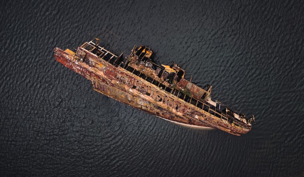
Where do ships go when they're no longer used? Well, thanks to Google Earth, it appears they wind up in Pakistan. Selling and fixing old ships is more money than it's worth, so owners give them away. We can see them washed up on the shore and possible shadows of even more boats below the water's surface.
5 Pac Man In The Desert
Since it took the world by storm in the 1980s, Pac Man has become a household name and nobody on earth doesn't recognize the hungry video game character. But it would seem that Pac Man doesn't just stick to screens and arcades; he's actually alive and well in the Mojave Desert in California. On one particular area of farmland in the desert, there are circular and semi-circular fields primed and pruned to look exactly like the beloved arcade character.
4 The International Space Station
Launched by Google Earth in 2017, this incredible photo project was created with the intention of allowing mere mortals the opportunity to see what it's like being up in space in the international space station. Anyone can now visit the station and marvel at planet Earth outside from above, whilst experiencing what it looks like to actually be inside this most prestigious place that most of the global population will never get to visit. NASA took a series of photos to produce the fascinating 360-degree panoramic viewing experience that anyone can enjoying viewing from their computers and smart devices.
3 Batman? Is That You?
The Batman Lego silhouette
It doesn't matter if you're a superhero fanatic or not - everyone knows who Batman is, and it would appear, according to Google Earth, that Bruce Wayne travels quite a bit further than Gotham these days. In fact, the Batman signature symbol has been spotted as far away as Okinawa in Japan's southernmost stretches. Who knows - maybe Mr Wayne has expanded his headquarters and set up a bat cave in Japan?
In actual fact, the story behind the batman symbol isn't that dramatic, but it is indeed wholesome. It's said to mark the home of the U.S. Air Force’s 44th Fighter Squadron’s Kadena Air Base in Okinawa. Reports state that it is unknown who painted it, but nevertheless it has intrigued and entertained bird's eye view visitors ever since the 1980s, way before Google Earth even became a thing.
2 Creepy Pentagram In Kazakhstan
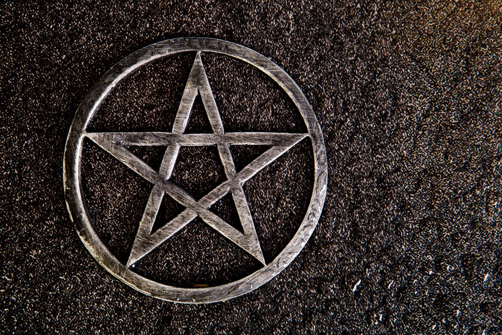
The pentagram shape has long been associated with occult activity and the supernatural. When some Google Earth enthusiasts stumbled upon a pentagram-like etch in Kazakhstan, they had every right to be concerned. The ominous figure was captured in a remote section of the country, about 12 miles from the nearest town.
However, some have suggested that these Google Earth users might have jumped to conclusions. The sighting could simply be walking trails in a park with an uncanny resemblance to the infamous shape.
1 Guitar-Shaped Forest In Argentina
world largest guitar shape resort top view
As the 8th largest country in the world by landmass, Argentina is full of sprawling farmlands and vast forest lands yet to be explored. But one particular forest has captured the interest of many Google Earth users with its unusual shape. The guitar-shaped forest is the handy work of a local Cordoba farmer, Pedro Ureta and his four children.
It features more than 7000 eucalyptus and cypress trees spread over just under a mile stretch of land to honor the family's late matriarch. Thanks to this lovely gesture, the family has produced one of the most satisfying sightings on Google Earth.


