Read update
- This Post Now Has The Best Time To Drive The Rim Of The World
Quick Links
The best way to enjoy California in spring is by car, so tourists can load up their gas tanks and strap up for heart-wrenching rides across the breathtaking countryside. They can also prepare themselves for unforgettable experiences as they travel through exquisite wine country, humbling Californian redwood forests, huge desert stretches, endless miles of coastal road trips across the Golden State, and sky-touching Sierra Nevada peaks. Road trippers need all the miles they can get, so they should be sure the rental car has limitless mileage.
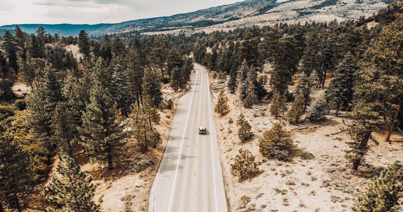
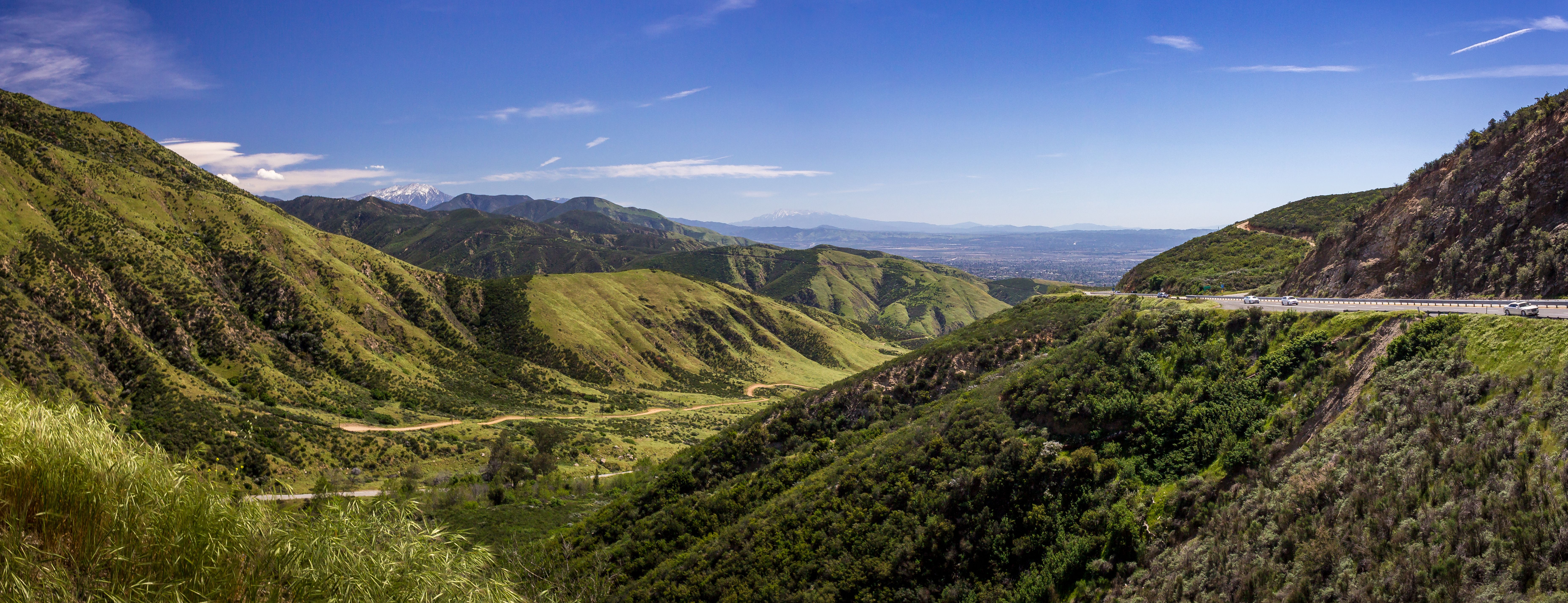
The mountains, lakes, and landscapes of the Rim of the World Scenic Byway may be found only a short drive from the surf and sand of magical Southern California. They can take a road journey through California over the 110-mile-long (177 km) Rim of the World Scenic Byway, which is known for its incredible panoramas along the San Bernardino Mountains' cliffs, starting from San Diego, Orange County, or Los Angeles. These are the wonderful places to visit along their Rim of the World Scenic Byway road trip.
UPDATE: 2023/07/05 12:13 EST BY NOAH STAATS
This Post Now Has The Best Time To Drive The Rim Of The World
This article has been refreshed with new information, including the best time of year to drive the Rim of the World Scenic Byway. From the warm sunny spots in the south up to the mountains, this road trip is quintessential California.
Depart For The Rim Of The World Scenic Byway Road Trip In California
Each section of the Rim of the World Scenic Byway route is as magnificent as the next. To prove that and give road trippers an insight, here's a rundown of the journey's top stops, along with what visitors can do and see in each place.
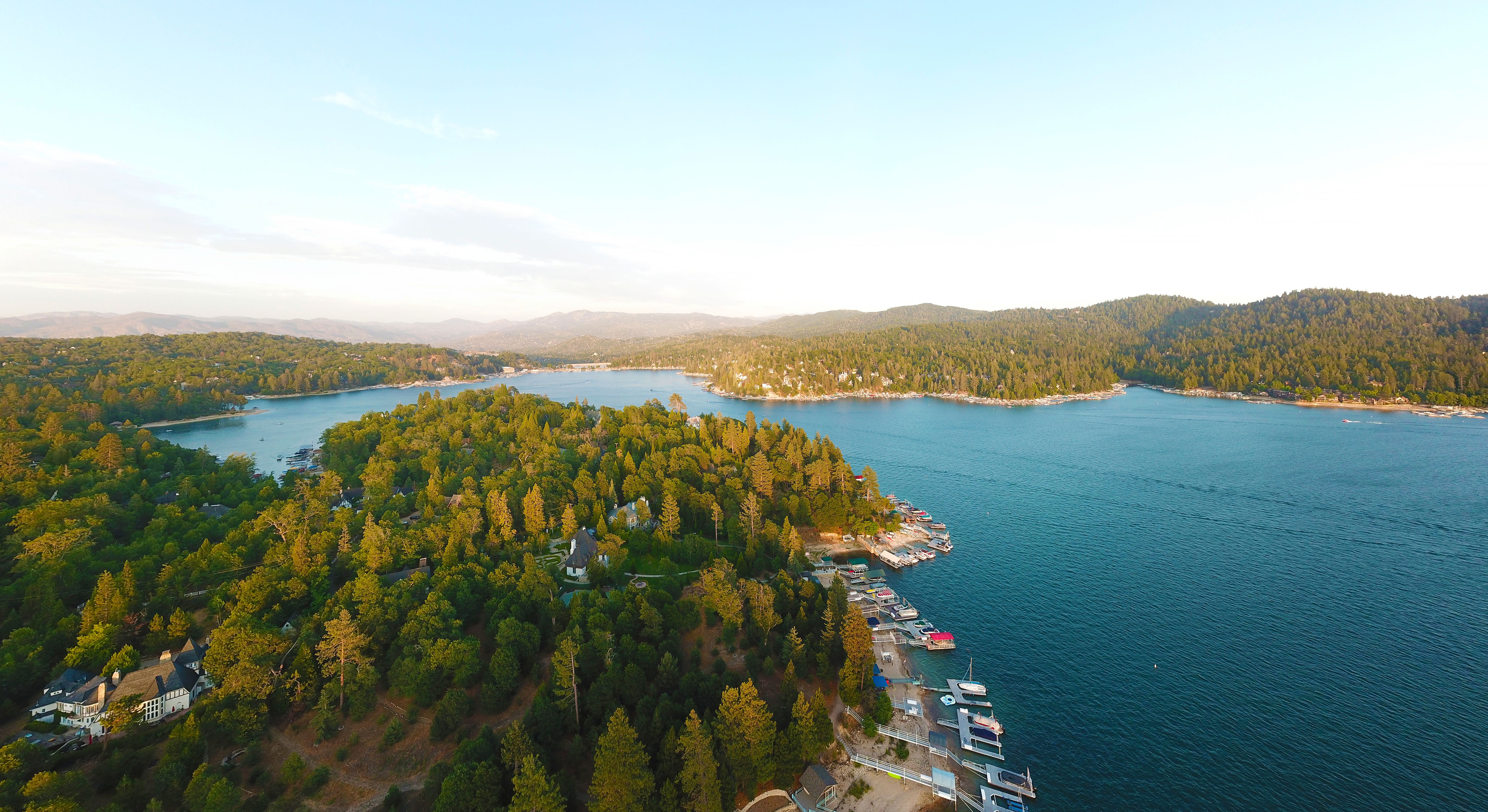
Contemplate The Splendor Of Lake Arrowhead
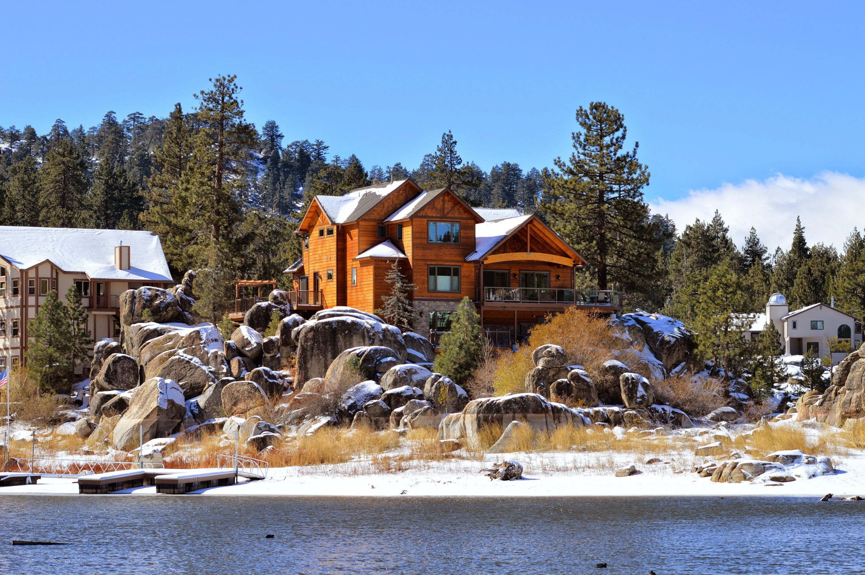
Road trippers can contemplate the deep-blue mountain lake and the nearby picturesque village by taking a diversion off State Road 173. At the nearby Lake Arrowhead Resort & Spa, they can kayak across the mesmerizing lake, roast marshmallows on the sand, and even get a massage. While road trippers are there, they can also hike the Pacific Crest Trail for about 7 miles (11.2 km) from the lake to reconnect with Mother Nature and soak in the scenic views, and they can take a riverboat excursion on the Arrowhead Queen to admire the lakeside properties and discover the history of the movies that have been shot here.
Finally, they can pick up some handcrafted ceramics, sun catchers, antique carpets, and knitwear manufactured by aboriginal tribes as they visit Shop Road Trip.
Drive Through Big Bear Mountain To Reach The Resort
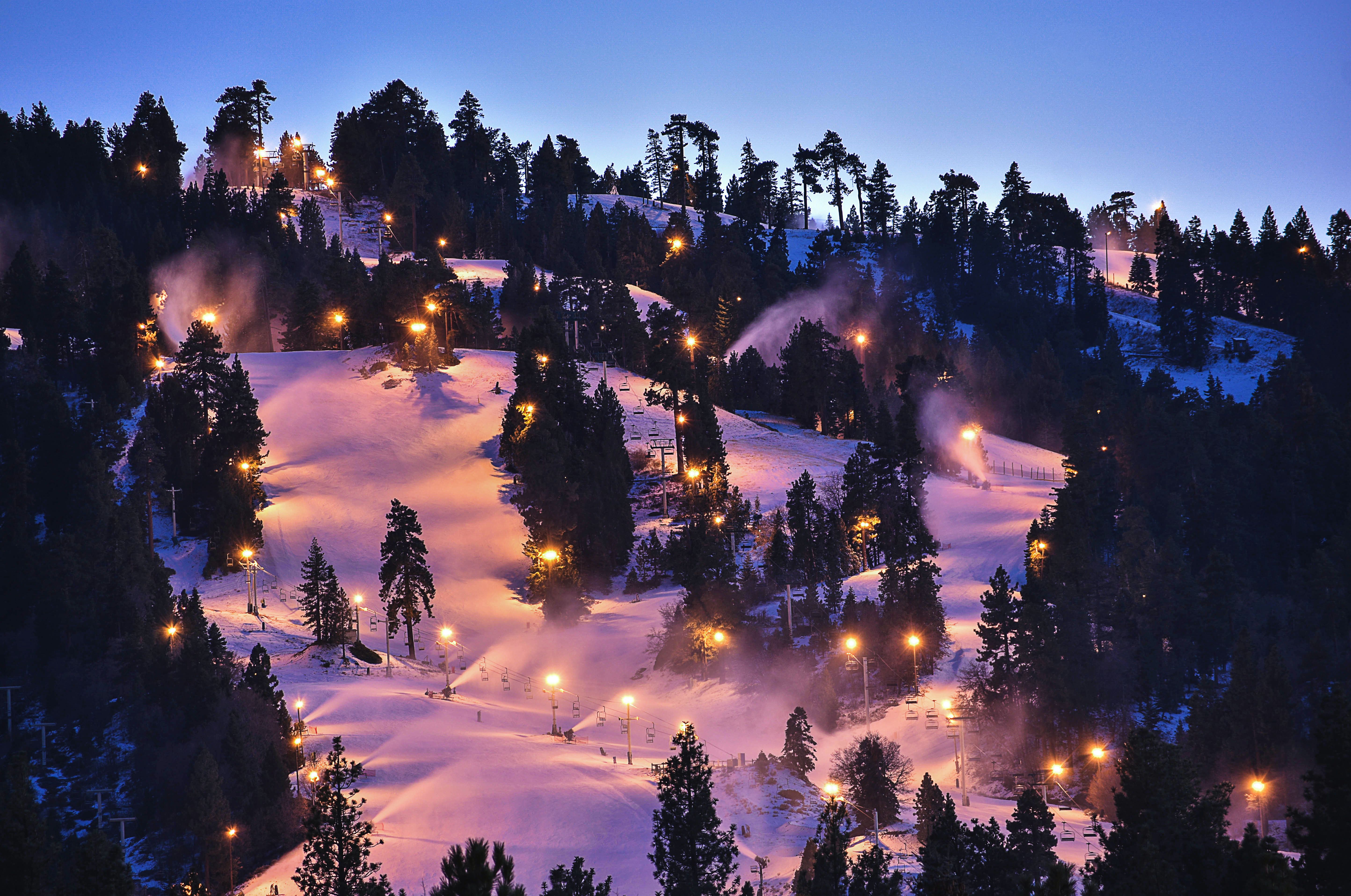
The Big Bear Mountain Resort is home to the twin slopes of Snow Summit and Bear Mountain. The slopes are wonderful to see. Snow Summit's lifts soar to 8,200 feet (2499.6 meters), while Bear Mountain is the only place in Southern California with halfpipes, making it a sanctuary for snowboarders. After enjoying the panorama, they can head to Himalayan Restaurant for authentic Nepalese and Indian cuisine to help them cap off a fantastic day.
Spot The Wildlife Near Big Bear Lake
Several wintering waterfowl, such as great blue herons, grebes, and American white pelicans, congregate in Big Bear Lake. Road trippers can take advantage of the Big Bear Discovery Center's winter bald eagle tours and spring flora hikes to scrutinize the splendid surrounding. Onyx Peak, the highest point along this byway, is covered in dense conifers that conceal northern flickers, Townsend's solitaires, white-headed woodpeckers, and several other forest birds.
When traveling in the Santa Ana River watershed, road trippers can keep an eye out for mule deer and black bears. Taking State Road 18, road trippers will go in the direction of Big Bear Lake Village (a place with lots of snow fun!). Staying in a contemporary interpretation of a mountain cottage will help them appreciate the Alpine views on the western side of the Rim. If road trippers are hungry, they can stop by Big Bear Local for a delicious breakfast or lunch.
- Cuisine: They serve California-meets-Hawaiian dishes like teriyaki, poke, and açai bowls, as well as marshmallow-laced lattes.
Rest From Driving And Hike The Bewitching Castle Rock Trail
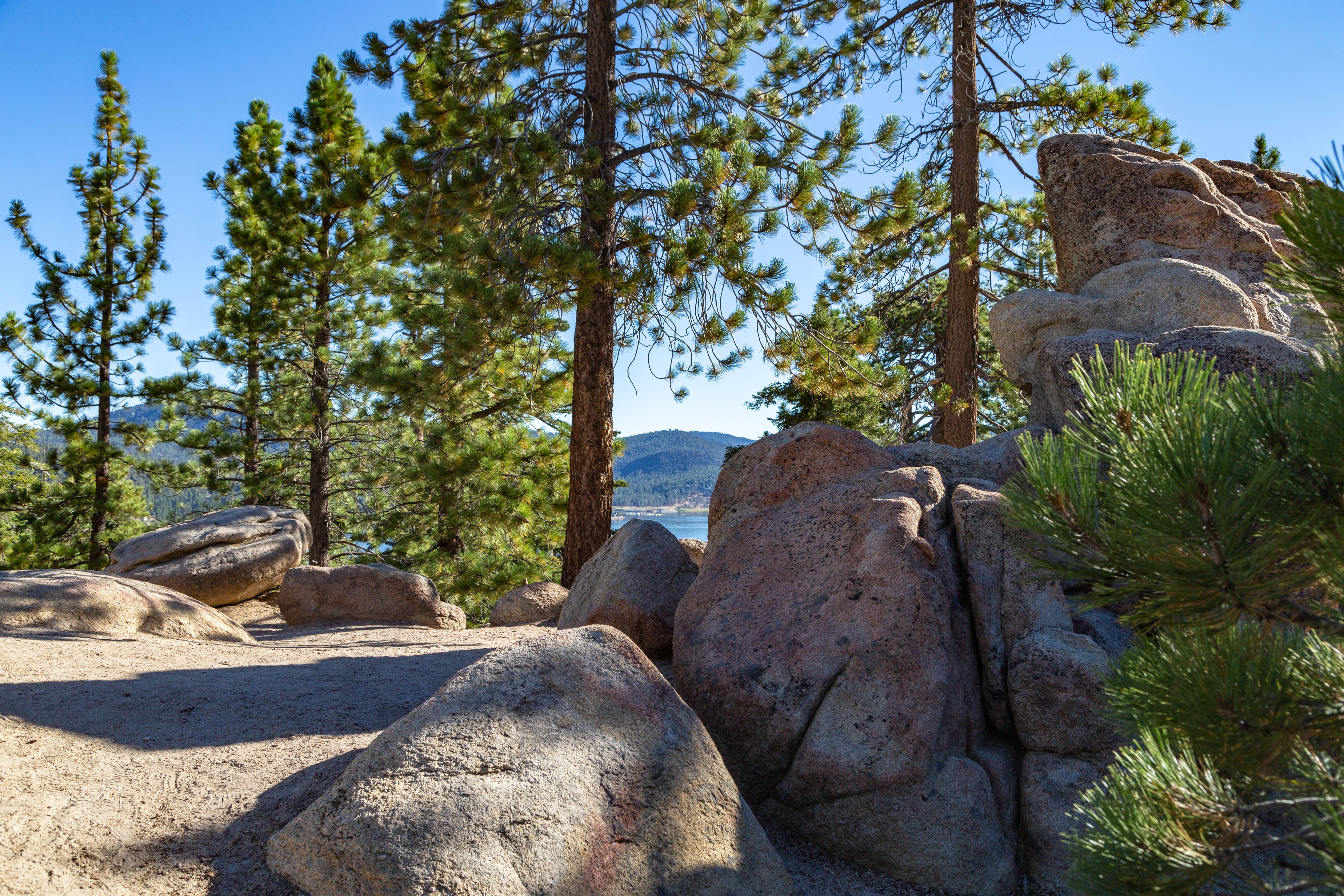
The famed Castle Rock Trail, a three-mile (4.8-km) hiking trail with occasionally steep terrain, offers one more breathtaking perspective of the Big Bear region. The forest-lined trek leads hikers past gigantic granite rocks as they rise through lofty Ponderosa pines, white firs, and incense cedars to gain a panoramic picture of Big Bear Lake. They can also hike to the waterfall in the spring or summer and keep an eye to spot hawks, herons, and perhaps bald eagles.
A view of Big Bear Lake from the Castle Rock trail
How Long Does It Take To Go Along The Rim Of The World Byway?
- One way, it takes two hours to go along the Rim Of The World Byway.
- If someone decides to make frequent stops, this drive can become 4+ hours.
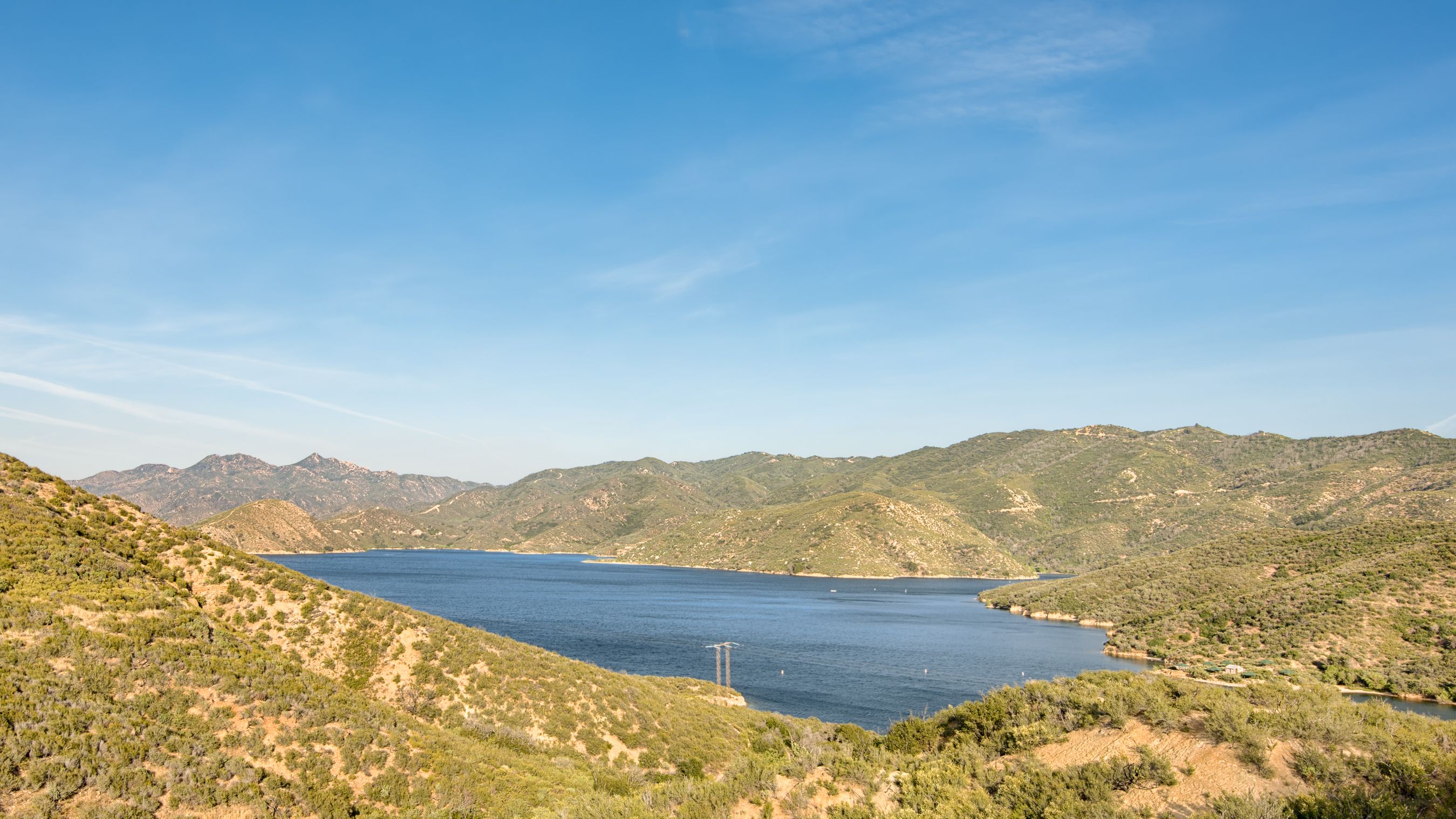
A one-way trip takes up to two hours without stopping. The route provides scenic panoramas along the San Bernardino cliffs as well as some of the most intriguing terrain in the state. It passes through a desert and a coastal valley before arriving at some of Southern California's most picturesque natural features, including multiple lakes and high mountain woods. There are breathtaking vistas and panoramas at every turn of the road. Summer haze has an impact on distant sights.
Is The Rim Of The World Byway Accessible Year-Round?
The route is normally open all year round, except for brief closures brought on by hazardous weather during the winter. If there is snow in this location in the winter, snow chains could be necessary. Roads are closed or require chains while it is snowing. It is appropriate for all kinds of cars. Parts of it are twisting and steep. Drivers can use pullouts and should be aware of nearby cars.
- Entrance fee: $5
What Is The Best Time Of Year To Drive The Rim Of The World Byway In California?
- Spring and winter are the top times to visit the Rim of the World.
- During winter, the higher points of this drive may experience snow.
- The fall might be a nice middle-ground time to drive this route.
Regarding the best time to drive the Rim of the World Scenic Byway, this comes down to preference and vehicle type. First, winter and spring are top choices for this area, as the weather will be at its very best. California is known for its pleasant winters, making this scenic route perfect during a break.
However, many other people also have this idea, often causing crowding during peak vacation seasons. Spring break is another perfect time to experience the Rim Of The World Scenic Byway, although there may still be crowding in the area. The road throughout this scenic drive isn't large, so it's not uncommon for congestion to occur. Regardless, guests want to be aware of their surroundings and practice road safety while maneuvering these stunning landscapes.
According to past visitors, driving the byway during very early or very late hours is the best time to avoid crowds and enjoy the most 'dramatically illuminated' vistas. Therefore, starting this journey just as the sun rises might be the most serene time to see it. The same goes for just at dusk, before it becomes too dark to see everything along the route.

